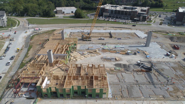
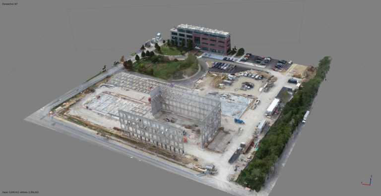
PerfectoPix provides the construction industry with the aerial data it needs to keep operations running smoothly. Aerial data can be as simple as monthly progress videos and “corner shots” documenting work in progress or as complex as georectified 2D orthomosaics. While we are not surveyors we can work with your engineers and external GIS consultants to create data sets that meet your engineering and commercial requirements.
Still Images
Many site managers have embraced the use of aerial imagery due to the insights it can provide them. Many issues that are not apparent from the ground become evident from the air. This type of simple documentation conducted through the construction process allows all parties to be able to determine objectively the state of the site when the images were taken.

Mapping
PerfectoPix operates a number of drone systems from various vendors with different technical specifications. By having a fleet of drones it allows us to take on different imaging applications using the best equipment for the task. We operate a number of systems that include RTK capability to improve the accuracy of the data captured for 2D and 3D mapping applications. PerfectoPix has the ability to produce non engineering grade point clouds inhouse that can be used for site management and planning.

Video
Keeping your clients up to date regarding the progress of a project has become significantly easier with video and images been made availble via the internet allowing the various stake holders in the project the ability to access near real time imagery of the site from anywhere in the world. High definition video is a great way to see how construction activities are being carried out and is a convenient way of capturing large areas instead of taking hundreds of still images. Videos can be shared easily with clients and used for marketing as well as engineering and planning purposes.
